Alum Cove Trail and Natural Bridge is a must visit when you are exploring the Ozark Mountains in Arkansas.
If you’re looking for a hike that’s short, easy, and full of unique and natural beauty, you simply can’t beat the Alum Cove Trail. which is near the town of Deer, Arkansas just off of Scenic Highway 7.
Alum Cove Trail and Natural Bridge
.This spot combines one of the largest natural stone bridges in the state with a short and peaceful loop trail that winds through caves, bluffs, and waterfalls.
Location of Alum Cove and Natural Bridge Recreation Area
The Alum Cove Trail and Natural Bridge Recreation Area is located about 15 miles south of Jasper, not far off the gorgeous Scenic 7 drive. It is near the town of Deer, Arkansas.
From Scenic Highway 7 you will take AR-16 towards Deer, but then turn off onto CR8766. From there you will go to the recreation area. There is a sign pointing the way to the parking lot.
We found that Alum Cove Recreation Area was on the GPS and easy to find. In addition, there are signs that mark the location.
You will love the drive to get there with its winding roads, rolling hills, and forest views.
The Recreation Area
The recreation area has a nice parking lot. There is also large area with picnic tables that are nicely spread apart and set under the shade of the tall trees.
There is also a restroom. Yes, it is a pit toilet, but it’s nice to have “facilities.”
The trail leads directly from the picnic area.
Here are a few of our favorite short and easy waterfall hikes in the Natural State!
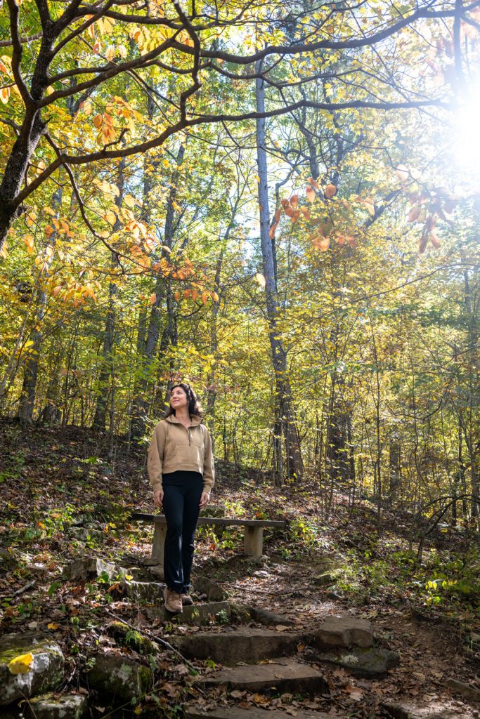
The Alum Cove Trail
The Alum Cove Trail is a 1.1-mile loop, although you will probably add a few more steps if you venture beneath the bridge – and you will definitely want to venture under the bridge.
The trail starts out descending gently through the woods to the main attraction: the Natural Bridge.
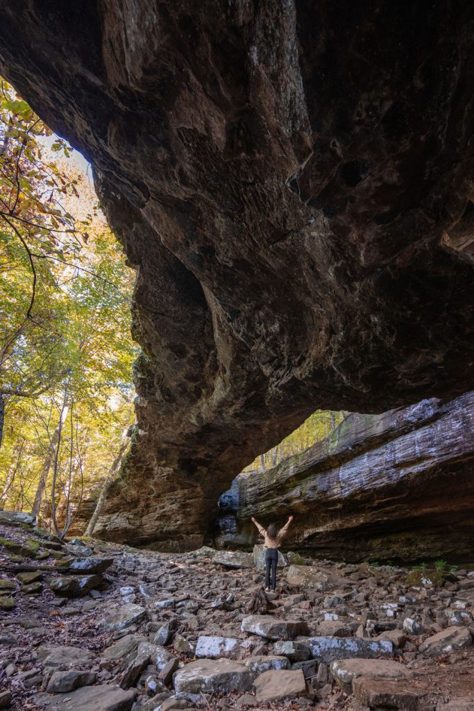
The bridge is a massive arch that spans about 130 feet long and 20 feet wide, making it one of the largest natural bridges in the Ozarks.
The trail will come out on top of the bridge and continue right across the top! There are rails on the sides of the drop-off, but they definitely aren’t childproof so you will want to be very careful with children in this area.

You can walk across the top of the bridge and complete the loop.
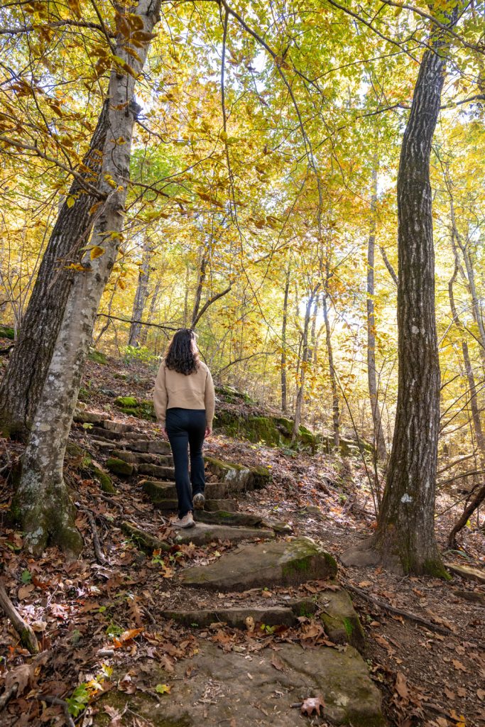
This will lead you through a beautiful forest with interesting cave-like rock formations. There is even a season stream and you might get to see a waterfall when there has been some rain..
The water wasn’t flowing while we were there, but the fall leaves were stunning.
We have a post with tips for hiking the waterfall trails in Arkansas that you might find useful!
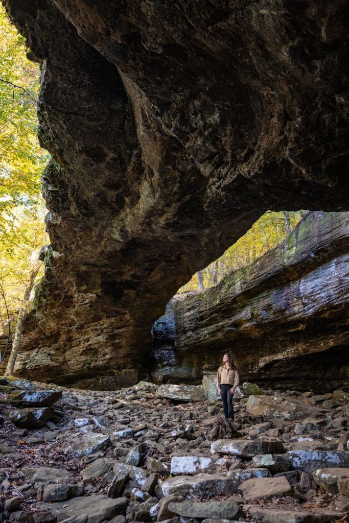
Under the Natural Bridge
You can also follow a path to the side of the bridge to explore the area underneath. I absolutely recommend that you do this!
It is impossible to get an idea of the true size of the bridge from the top. From below it will take your breath away!
It’s easy to see why this was once used as a shelter by early settlers and Native Americans.
Standing beneath it, you can even feel the cool air drifting from the shaded bluff, and it’s hard not to be impressed by the sheer size and beauty of the formation.

What Makes It Special
This is one of my favorite spots in the Ozarks. It is a short and pretty easy hike with SO many classic Ozark features.
In just over a mile there is a natural bridge, bluff shelters, potential water features, and quiet woods. It’s short enough for families with kids, but interesting enough to keep seasoned hikers engaged.
When to Visit
Honestly this is a great year round hike.
- In the spring, the area is alive with wildflowers and, often, flowing water.
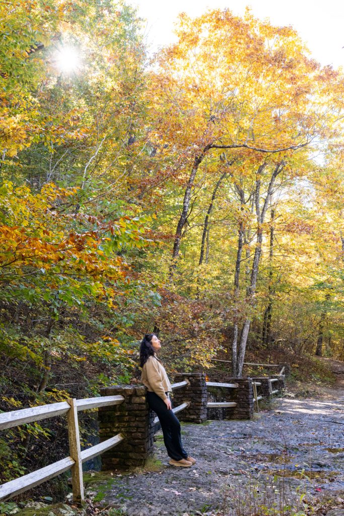
- As you can tell from the photos our most recent visit was In the fall. It was absolutely gorgeous!
- The area is shaded enough for summer hikes. I have photos from years ago from a summer hike to Alum Cove and it was lovely!
- In the winter you might be lucky enough to catch a frozen water feature.

Tips for Visiting
- Trail length: 1.1-mile loop
- Ease of hike: I’ve seen the trail rated as moderate and I would guess that is because of elevation change. It heads downhill from the trailhead which, of course, means you do have to go back up. The steepest part will be for those who walk underneath the bridge. Most Arkansas trails are rocky and have roots from the many trees so you always have to watch your step. The area under the bridge is particularly rocky so so wear sturdy shoes
- Facilities: Parking lot, restrooms, and picnic area at the trailhead.
- Best seasons: In our opinion this is a good year-round hike.
- Safety note: The rocks can be slick after rain and there is a long drop off the bridge so you will have to be careful with children at any time.
The Alum Cove Natural Bridge is one of those places that captures the magic of the Ozarks in a single, compact adventure.
Whether you come for the hike, the photos, or just to spend time outdoors, it’s an unforgettable spot that deserves a place on your Arkansas travel list.
If you’re exploring the area you will also want to check out Kings Bluff, or Pedestal Rocks. These are two hikes from the same trailhead and not too far from Alum Cove Natural Bridge.
Thanks for stopping by!


